TOPOGRAPHICAL SURVEYS AND SITE CONTROL

The key to any project is a good reliable Topographic survey. Using the latest survey solutions surveys can be carried out to the clients specifications and deliverables in many formats as requested.
The L&SS 1 – 2 – 3 Solution:

- Client contact with specific survey requirements
- Topographic Surveys – Landfill, Quarries, Boundary Surveys, Cropping Surveys Pipeline Routes, Development/Industrial sites.
- Real time tree collection in partnership with http://www.amenitytree.com specialist Arboriculture consultants.
- Existing control verifications
- Coordinating Site Investigations, Boreholes, CPT’s and Trial Holes.

- Control installation either in a local grid or Ordnance Survey as required
- Survey carried out to the required specification

Surveys processed through the n4CE application
- Output to the client’s requirement, AutoCAD with clear layering or any other electronic or paper media


Landfill, Quarries, Boundary Surveys, Cropping Surveys Pipeline Routes, Development / Industrial sites.
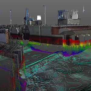
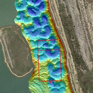
TOPOGRAPHICAL SURVEYS
The Latest Technology
We are committed to using the latest technology and surveying techniques to enable us to provide fast, accurate data acquisition in all areas of surveying both land and in the water.

Land and Satellite Surveys
Phone: 07885 266 029
Email: info@landandsatellitesurveys.co.uk

© Land and Satellite Surveys, 2020